Surveying and Underground Utility Location
Surveying
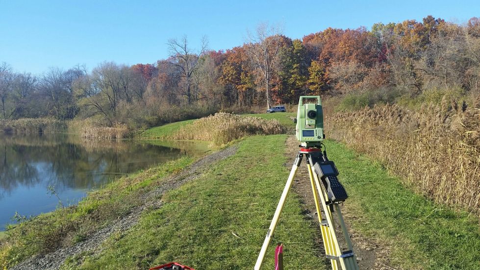
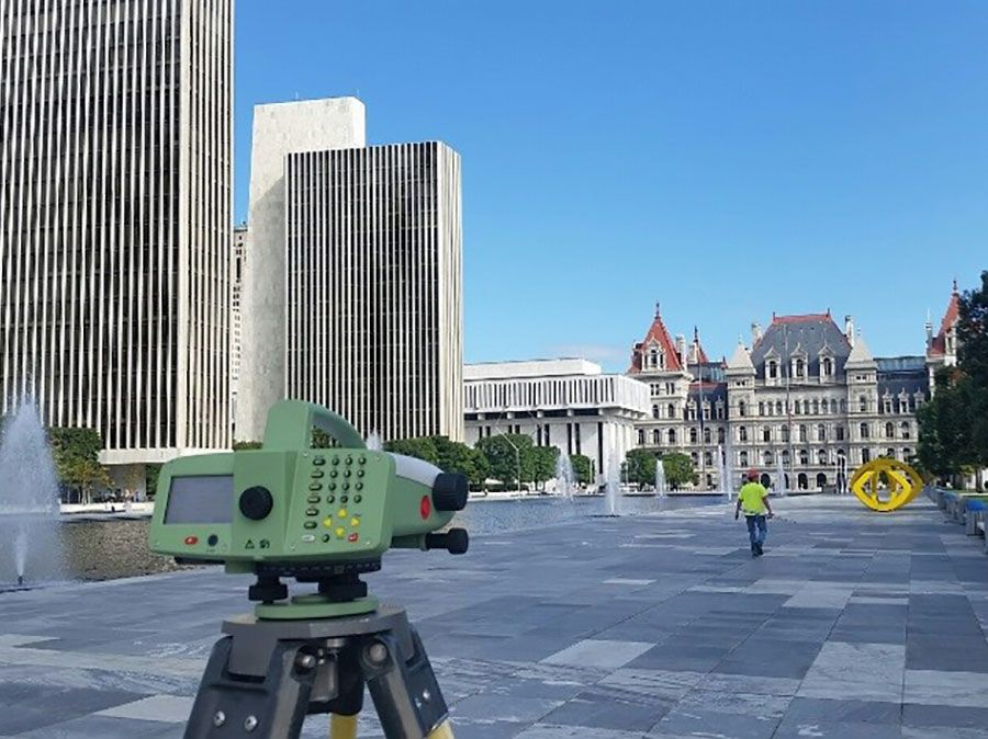
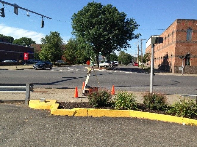
Our approach to land surveying is focused on collecting the data required for the engineering design of construction projects. This means that our survey maps are detailed, accurate, and easily integrated into the engineering design and software. We have provided boundary and topographic surveying and mapping to numerous municipal, institutional, educational, commercial, industrial, contractor, and private clients. We utilize state-of-the-art survey equipment to maximize efficiency and reduce expense to our clients. For accurate and timely survey production work, we utilize the appropriate equipment for the job: GPS, Robotic Total Station DNA 03 Digital Level, Electronic Total Station with Data Collection or a combination of these tools.
Underground Utility Location
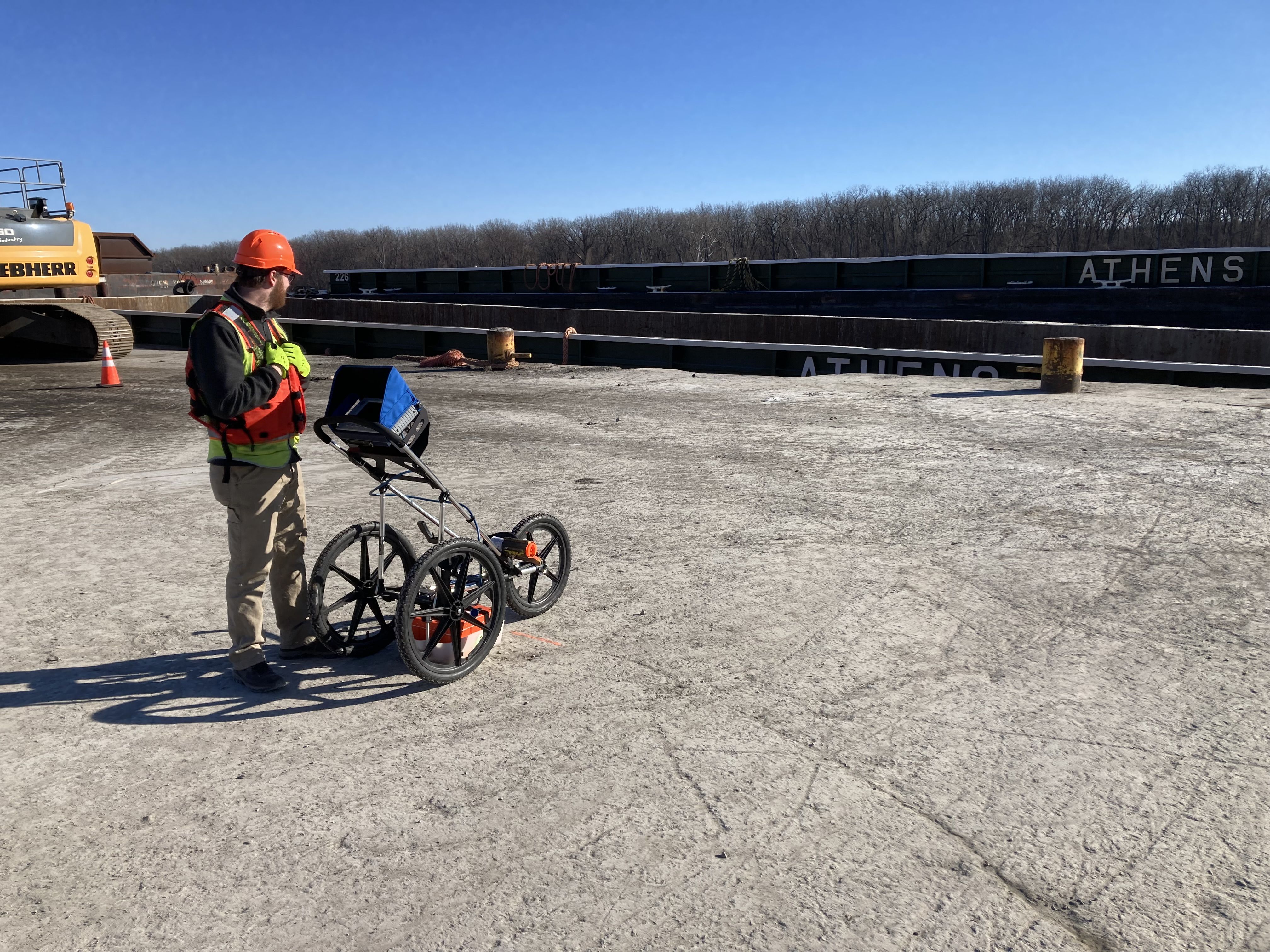
Ryan Biggs | Clark Davis offers Underground Utility and Pipe Locating with the use of an Eastcom pipe locator. Knowing the location of underground utilities is critical to controlling the cost of construction projects. We take the time to fully research each project, making sure to gather existing maps and information, review known utility locations with facility managers, and meet with utility providers. This effort is combined with careful subsurface location combining powerful equipment and years of surveying knowledge to produce the most accurate representation of what is buried underground.
- ASCE Level B Subsurface Utility Survey
- ASCE Level C Planimetric Survey with Utility Location and Mapping
- Subsurface Utility and Structure Imaging utilizing GPR
- Locations referenced to NAD83 and NAVD88
- GIS Geolocation, Database Creation, and GIS Map Preparations
- Extensive Research and Planning prior to Fieldwork
Ryan Biggs | Clark Davis Surveying Portfolio
College/University Facilities
- Cornell University Plant Science Building Survey
- Fulton Montgomery Community College Survey
- HVCC Williams Access Road
- RPI Commons Underground Utility Location
- SUNY Cobleskill Dairy Complex
- SUNY Cobleskill Wheeler Hall Lab Addition
- SUNY Delhi Athletic Facility
- SUNY Delhi Farrell Hall Renovation
- SUNY Delhi New Dormitory
- SUNY ESF Bray Bridge Survey
- SUNY ESF Marshall Hall Survey
- SUNY Morrisville
- SUNY Morrisville Agricultural Clean Energy and Technology Center Survey
- SUNY Morrisville Design Center
- SUNY Morrisville Dormitory Conversion
- SUNY New Paltz 200 Bed Dormitory Site
- SUNY New Paltz HT Waterline Survey
- SUNY Oneonta 200 Bed Dormitory Site
- SUNY Oneonta Dormitory
- SUNY Oneonta Fine Arts Building Addition
- SUNY Oneonta Fitzelle Hall
- SUNY Oneonta Health Center Site
- SUNY Oneonta Welcome Center Survey
- SUNY Oswego Sidewalks and Lights Survey
- SUNY Plattsburgh HTHW System Survey
- SUNY Potsdam Childcare Center Survey
- SUNY Purchase HTHW Survey
- University at Albany Campus Center
- University at Albany Indian & State Renovations
- University at Albany Monitoring Wells Survey
- University at Albany Service Building Complex
- University at Albany Tuscarora & Whitman Renovations
- West Point Delafield Dam Survey
K-12 Facilities
- Academy of the Holy Names Boundary Survey
- Albany Institute of History & Art Site Mapping
- Ballston Spa Middle School/High School Survey/GPR
- Darrow School Campus Mapping
- Emma Willard School Chapel Survey
- Emma Willard School Wellington-Lay Survey
- Emma Willard Sidewalks Survey
- Green Island School Site Mapping
- Herkimer CSD Athletic Complex Mapping
- Hoosic Valley Central School District Survey
- Hoosic Valley School Additions & Athletic Fields
- New Lebanon CSD Site Mapping
- St Regis Mohawk School Additions
- Windham Ashland Jewett CSD Site Mapping
Municipal Facilities
- Albany Housing Authority Mapping
- Albany International Airport Numerous Projects
- Albany Police Substation Mapping
- Albany Third Avenue Survey
- Athens Town Hall Survey
- Beacon Institute Master Plan Mapping
- Beaver Creek Clean River Project Survey
- Cemetery of the Evergreens Survey
- Cohoes Stormwater Conveyance Survey
- Cohoes Urban Connectivity Survey
- Creedmoor Psychiatric Facility Recreational Building
- Downstate Correctional Facility Boiler Installation
- Eastern Correctional Facility Water Tower Monitoring Survey
- Elmira Correctional Facility Utility Mapping
- Fishkill Correctional Facility Survey
- Hackett Boulevard Wetland Project Survey
- Hudson Falls DOT Survey
- Massena Towne Centre Waterline Improvement
- Mechanicville South Central Avenue Survey
- Mechanicville Water System Survey
- Middletown Psychiatric Center Utility Mapping
- MS4 Outfall and Catch Basins Survey
- Nathan Kline Institute Cage Wash Facility Additions
- New York State Court of Appeals Additions
- New York State Military Museum Site Study
- NYRA Easement Survey
- NYS Office Campus Bridge Reconstruction
- NYS Police Troop B Headquarters Survey
- NYSOPRHP Numerous Parks Mapping Projects
- Peebles Island State Park Bridge Mapping
- Poestenkill Landfill Additional Land Acquisition
- Poestenkill Mine Expansion Survey
- Polk Street Sewer Separations Survey
- Rockland Psychiatric Center Drainage Survey
- Samaritan Village Reconstruction
- Saratoga Springs Fire House Survey
- Southport Correctional Facility Utility Mapping
- Stockade Force Main Survey
- Town of Hillsdale Sewer Project Mapping
- Troy Raw Water Transmission Survey
- Upstate Correctional Facility GPR Survey
- Utica Housing Authority Mapping
- Van Buren Street Sewer Separation Survey
- Village of Castleton Green Ave Reconstruction
- Village of Catskill, High Street Slope Failure
- Village of Nassau Road Reconstruction Projects
- Watervliet Arsenal Building 25 Survey
- Yates County Highway Department Survey
Transportation Projects
- Albany-Colonie Interconnection Survey
- Ballston Avenue, Saratoga Springs
- County Route 157 New Karner Road Highway Improvement Survey
- County Route 26 over Black Brook
- County Route 6 over West Kill
- Denning Road Bridge over Neversink River
- Dix Bridge over Hudson River
- Erie Blvd Reconstruction, Schenectady
- Grant Hill Road over Normans Kill
- Hicks Road Reconstruction, Queensbury
- Main Street, Cold Spring
- Moriah Center Bridge over Mill Brook
- NYS DOT Rt 42 over Bushnellsville Creek
- NYS DOT Whitehall Bridges
- NYSDOT Rt 115 over Little Wappinger Creek
- NYSDOT Rt 211 over Wallkill River
- NYSDOT Rt. 209 over Neversink River
- Pictuay Road over Coeymans Creek
- Route 20 Corridor Improvements, Rensselaer
- Saratoga County Route 45 over Kayaderosseras Creek
- Tower Avenue over LaChute River
- US Route 4 over Anthony Kill
- White Church Road over Quacken Kill
